Missouri is home to 92 state parks and historic sites, not to mention 1.5 acres of Mark Twain National Forest and over one thousand conservation areas and county parks.
It would be impossible to list every amazing hiking spot, but we picked our favorites that offer any hiker the chance to explore Missouri’s geological wonders.
Let’s look at some of the best hikes in Missouri and you’ll quickly learn that these Midwest hiking trails with beautiful views are full of rugged terrain and awesome rock formations.

1. Hogsback Trail
The Hogsback is an easy Missouri loop trail for all levels of hikers that offers beautiful scenery and the feeling of solitude. You’ll connect the Hogsback trail with the Overlook Trail to create a loop.
The overlook trail will take you to a viewpoint to catch a glimpse of the Mississippi River and have a panoramic view of the surrounding area. This is also a lovely spot to see a beautiful Midwest sunset (or a Missouri sunrise)!
Once you’ve taken in the amazing views, make your way to the Hogsback trail. A natural surface path that gets your legs moving and offers a small challenge with a few inclines. An added bonus – Klondike Park is close to wineries, so you can mix work with play on this Missouri hike!
Hogsback
Difficulty: Easy
Distance: 1.5 miles
Trail Type: Loop
Location: Klondike Park, Augusta, MO
2. Katy Trail
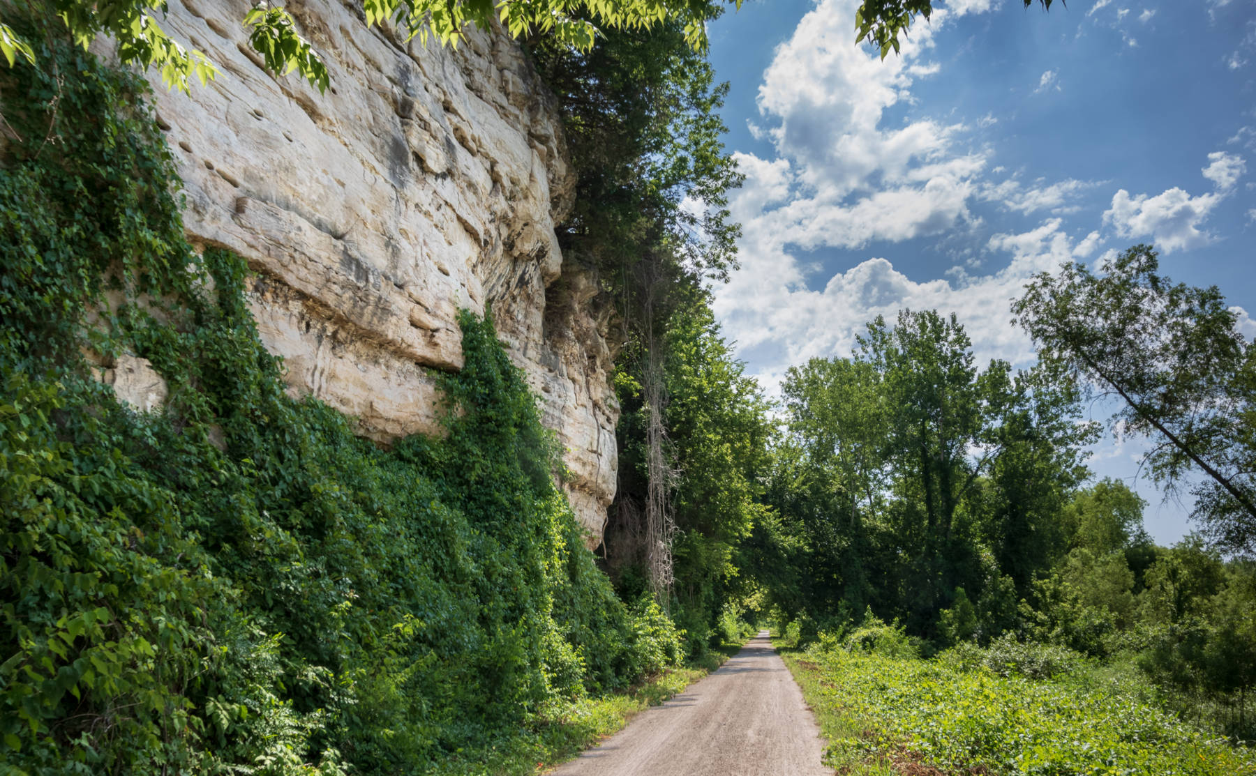
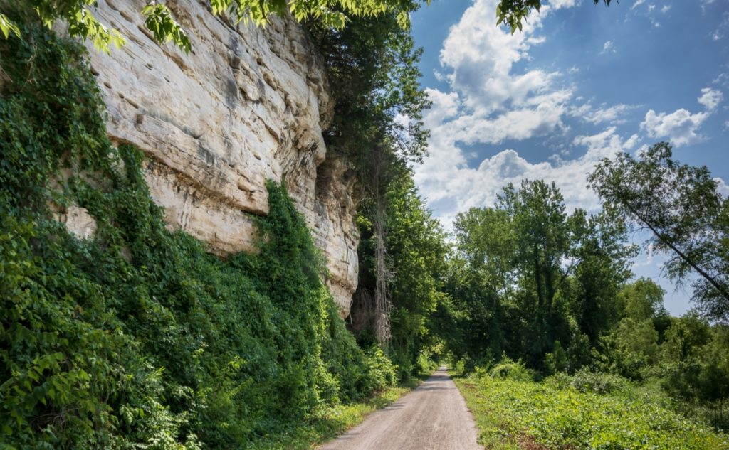
A list of the best hikes in Missouri isn’t complete without mentioning the famous Katy Trail. Katy Trail is flat and made with crushed limestone, stretching across almost the entire state of Missouri.
The Katy Trail is the country’s longest continuous rail-trail. Some wouldn’t consider this a traditional hike, but it’s worth noting for any history buffs out there.

Depending on which section of the out and back Katy Trail you choose, the path travels along the Missouri River and bluffs, through farmland, small towns.
You can even stop at a brewery or winery in Augusta. Good News Brewing Company and Augusta Winery are two of our favorites!
Katy Trail
Difficulty: Easy
Distance: 237 miles one way
Trail Type: Out and back
Location: Begins in Machens, MO and runs to Clinton, MO
3. Pickle Springs Natural Area
When visiting the Pickle Springs Natural Area, you will not only enjoy an enchanting Missouri hiking trail but have a lesson on different geological features along the way.
The 2-mile one-way loop will include a wet weather waterfall, natural springs, slot canyons, bluffs, impressive rock formations, and even a double arch. This popular trail is rated moderate, but mainly because of elevation changes.
Pickle Springs Loop
Difficulty: Moderate
Distance: 2 miles
Trail Type: Loop
Location: Dorlac Road, Sainte Genevieve County, MO
4. Wilderness Trail Loop
As the name implies, Wilderness Trail Loop in Meramec State Park – which is one of the best Missouri state parks for hiking – offers just that, Missouri wilderness! Like many hikes in the Midwest, beware of poison ivy.
I recommend wearing hiking pants. Not only because of poison ivy but also due to narrow paths and overgrowth. The thorny branches along the Wilderness loop and spider webs will wreak havoc on bare legs!
Of course, trail conditions vary depending on the time of year. Wildflowers will be on display during the spring, which is always a treat for hikers. After heavy rain, a creek crossing might be impassable, but otherwise, some rocks allow you to hop across without getting your hiking boots wet.
There is an option to shorten the Wilderness hike into a 6-mile loop by using the white connector. You can make this a multi-day backpacking trip and stay at the established backcountry campsites along the path.
Wildnerness Trail Loop Hike
Difficulty: Moderate
Distance: 8.5 miles
Trail Type: Loop
Location: Meramec State Park (trailhead across from the picnic area, near the cabins)
5. Clifty Creek Natural Area Loop
The Clifty Creek Natural Area near Dixon, Missouri is an excellent hiking trail that does not disappoint.
Having lived in Utah and visited their 5 National Parks, it’s fun seeing what other parts of the country have to offer when it comes to natural bridges, arches and other cool rock formations.

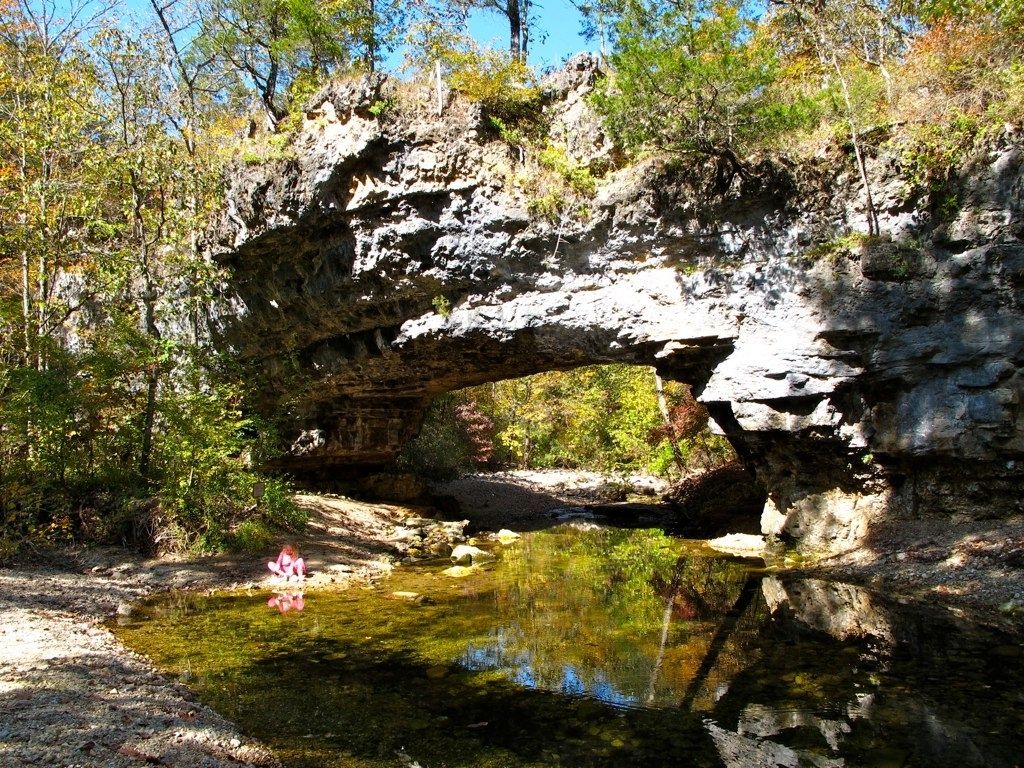
One feature that makes the Clifty Creek Nature Area exciting is the 40-foot long natural bridge.
On this hike, also known as the Natural Bridge Loop, creek crossings are required, but the creek beds are usually dry if it hasn’t rained recently.
Wearing waterproof boots is a good idea if the creeks are higher. Plus, the boots will help with ankle stability on any uneven, rocky terrain.
Clifty Creek
Difficulty: Moderate
Distance: 2.5 miles
Trail Type: Loop
Location: Clifty Creek Conservation Area, trailhead coordinates are 38.03066, -91.98187
6. Mina Sauk Falls Trail
If you are looking for Missouri hiking trails with waterfalls, check out Mina Sauk Falls in Mark Twain National Forest! Mina Sauk Falls is a wet weather waterfall, meaning it requires an abundance of water flowing which typically happens after rainstorms.
Part of the Ozark Trail, the Taum Sauk section is rocky but worth the challenge. You may consider bringing hiking poles for stability on the not so flat sections.
If you hike the counterclockwise loop, you’ll descend around 400 feet to the top of the waterfall – about at the halfway point. Then gradually ascend along Taum Sauk Creek, making your way back to the trailhead.
Mina Sauk Falls drops 132 feet, making it the tallest waterfall in Missouri.
Mina Sauk Falls
Difficulty: Moderate
Distance: 2.9 miles
Trail Type: Loop
Location: Taum Sauk Mountain State Park, trailhead coordinates are 37.57280, -90.72827
7. Sandstone Canyon Trail
Sandstone Canyon Trail is a 4-mile loop located in Don Robinson State Park, and one of the best hikes within an hour of St. Louis. The Sandstone Canyon hike is a forested path, making it a good option for hiking in summer.
Of course, be sure to wear bug spray to protect yourself. Even though there are tree canopies along the way, don’t forget your sunscreen either! Wildflowers will be in abundance depending on the season, and you’ll most likely see colorful mushrooms.
Unusual rock formations are pretty common in the Midwest. But on this moderate trail, you will pass rock walls, sandstone overhangs and even have the option of walking down into a canyon.
You’ll gain roughly 500 feet of elevation on this scenic hike. Sandstone Canyon Trail can be made shorter by taking white connector #1, turning your hike into a 2-mile loop.
Sandstone Canyon
Difficulty: Moderate
Distance: 4 miles
Trail Type: Loop
Location: Don Robinson State Park, trailhead coordinates are 38.39117, -90.69390
Wrapping It Up…
Well, there you have it, some of the best Missouri day hikes for all levels of hikers. We only ask one thing of you though – Prepare yourself for some rewarding hiking spots and scenic views!
Don’t Miss:
Start planning ahead and check out these other great hiking areas:

